
Framed or unframed, desk size to sofa size, printed by us in Arizona and Alabama since 2007. Explore now.
Shorpy is funded by you. Patreon contributors get an ad-free experience.
Learn more.

- Lost in Toyland
- And without gloves
- If I were a blindfolded time traveler
- Smoke Consumer Also Cooks
- Oh that stove!
- Possibly still there?
- What?!?
- $100 Reward
- Freeze Frame
- Texas Flyer wanted
- Just a Year Too Soon
- WWII -- Replacing men with women at the railroad crossing.
- Yes, Icing
- You kids drive me nuts!
- NOT An Easy Job
- I wonder
- Just add window boxes
- Icing Platform?
- Indiana Harbor Belt abides
- Freezing haze
- Corrections (for those who care)
- C&NW at Nelson
- Fallen Flags
- A dangerous job made worse
- Water Stop
- Passenger trains have right of way over freights?
- Coal
- Never ceases to amaze me.
- Still chuggin' (in model form)
- Great shot
Print Emporium
Landscapes
Fender, Roads: 1942
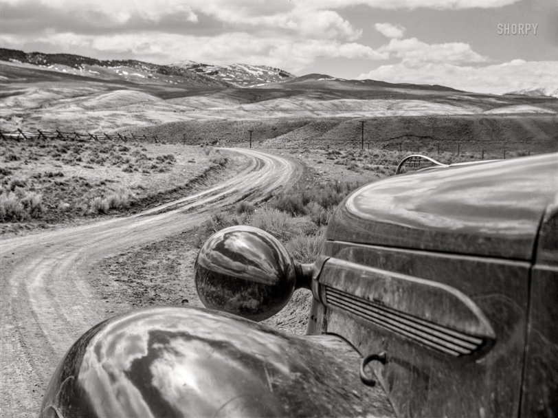
April 1942. Beaverhead County, Montana. "Road into Bannack, Montana's first capital." Acetate negative by John Vachon for the Office of War Information. View full size.
- 13 comments
- 11837 reads
Long Distance: 1941
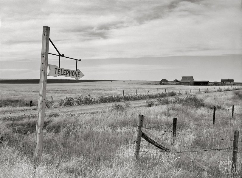
September 1941. "Telephone sign along highway. Judith Basin, Great Falls, Montana." Acetate negative by Marion Post Wolcott for the Farm Security Administration. View full size.
- 1 comment
- 9213 reads
Route 99: 1939
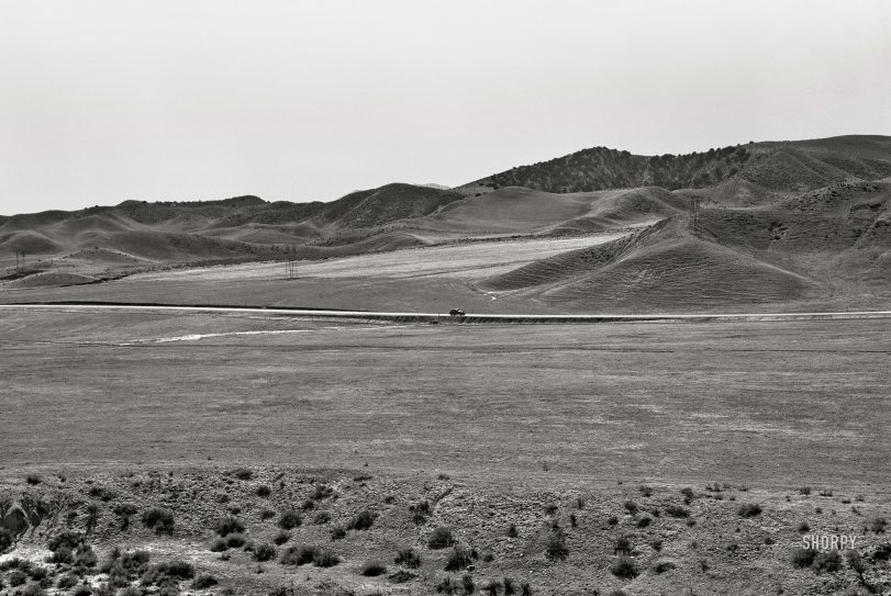
April 1939. "U.S. 99 on ridge over Tehachapi Mountains. Heavy truck route between Los Angeles and San Joaquin Valley over which migrants travel back and forth." 4x5 inch nitrate negative by Dorothea Lange for the Farm Security Administration. View full size.
- 8 comments
- 9928 reads
Modern Garden: 1910
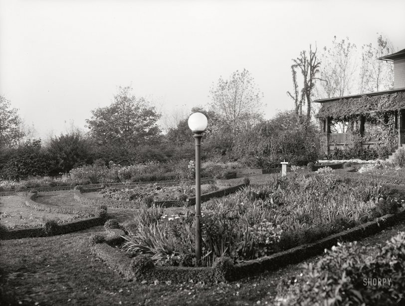
Harrisburg, Pennsylvania, circa 1910. "Garden in Reservoir Park." 8x10 inch dry plate glass negative, Detroit Publishing Company. View full size.
- 2 comments
- 8008 reads
The Elms of Academe: 1911
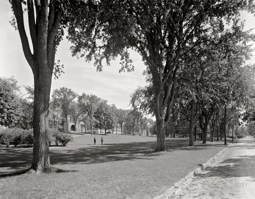
Circa 1911. "The College Green -- Burlington, Vermont." 8x10 inch dry plate glass negative, Detroit Publishing Company. View full size.
- 6 comments
- 11044 reads
Ragged Point: 1950
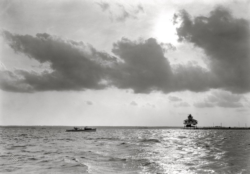
Chesapeake Bay (Maryland) ca. 1950. "Water scenes. Boat in foreground, lighthouse in distance. Made for Mr. Sharpe of Potomac Electric Power Co." Ragged Point Light in the Potomac River. 5x7 inch nitrate negative by Theodor Horydczak. View full size.
- 5 comments
- 8453 reads
Ɛɴco: 1971
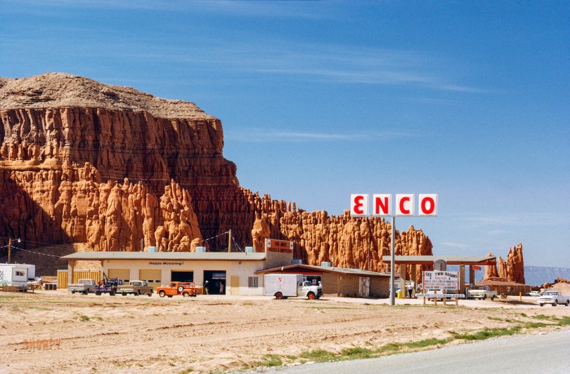
This Kodachrome dated October 1971 and labeled "Navajo" is the latest dispatch from our peregrinating correspondent Don Cox. Only 400 feet ahead: Baby Rocks! View full size.
- 12 comments
- 16227 reads
Cold Stop: 1961
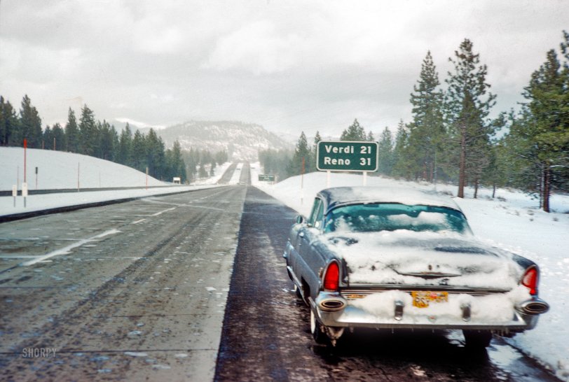
The car: 1956 Lincoln Capri coupe. The slide: 35mm Kodachrome dated February 1961. The place: 31 miles from Reno. The photographer: Don Cox. View full size.
- 7 comments
- 12536 reads
Piles to New Castle: 1906
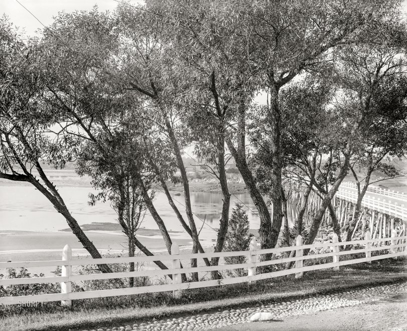
The Granite State circa 1906. "Pile bridge at New Castle, New Hampshire." You'll come for the bridge but stay for the bushes. 8x10 inch dry plate glass negative. View full size.
- 4 comments
- 7293 reads
Silverton: 1940
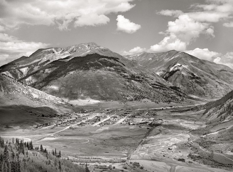
September 1940. "Silverton, Colorado, lies in a valley at 9,400 feet elevation. This has been a center for mining and milling operations, and the tailing-choked Animas River can be seen at right." Acetate negative by Russell Lee for the Farm Security Administration. View full size.
- 6 comments
- 10733 reads
Au Gone: 1940
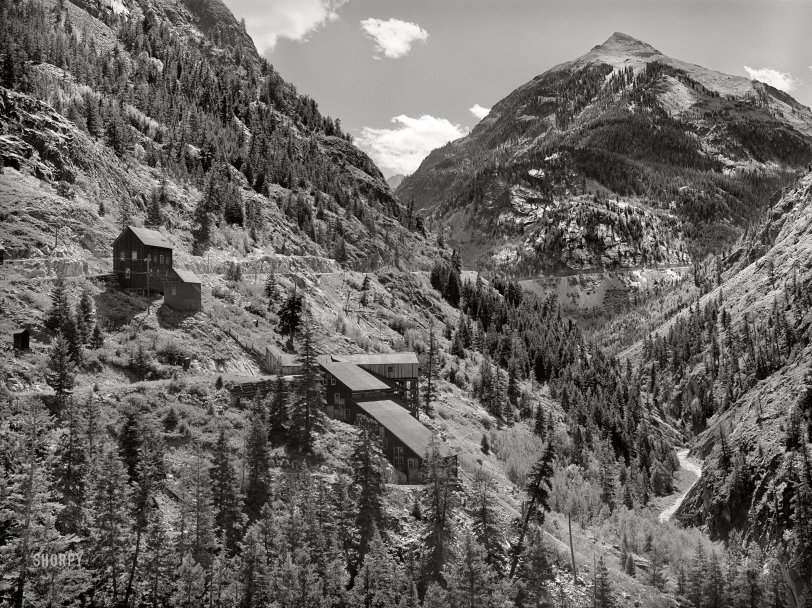
September 1940. "Abandoned gold mill along Million Dollar Highway immediately south of Ouray, Colorado, in Ouray County." Medium format acetate negative by Russell Lee for the Farm Security Administration. View full size.
- 2 comments
- 9271 reads
Linescape: 1939
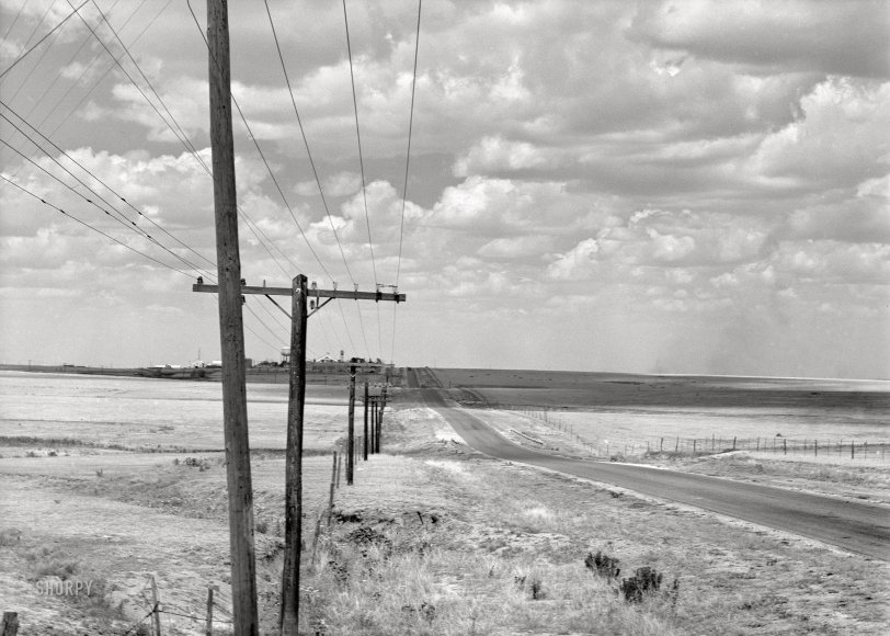
August 1939. "Great Plains and highway north of Amarillo, Texas." Medium format nitrate negative by Dorothea Lange for the Farm Security Administration. View full size.
- 4 comments
- 9039 reads
Yosemite: 1865
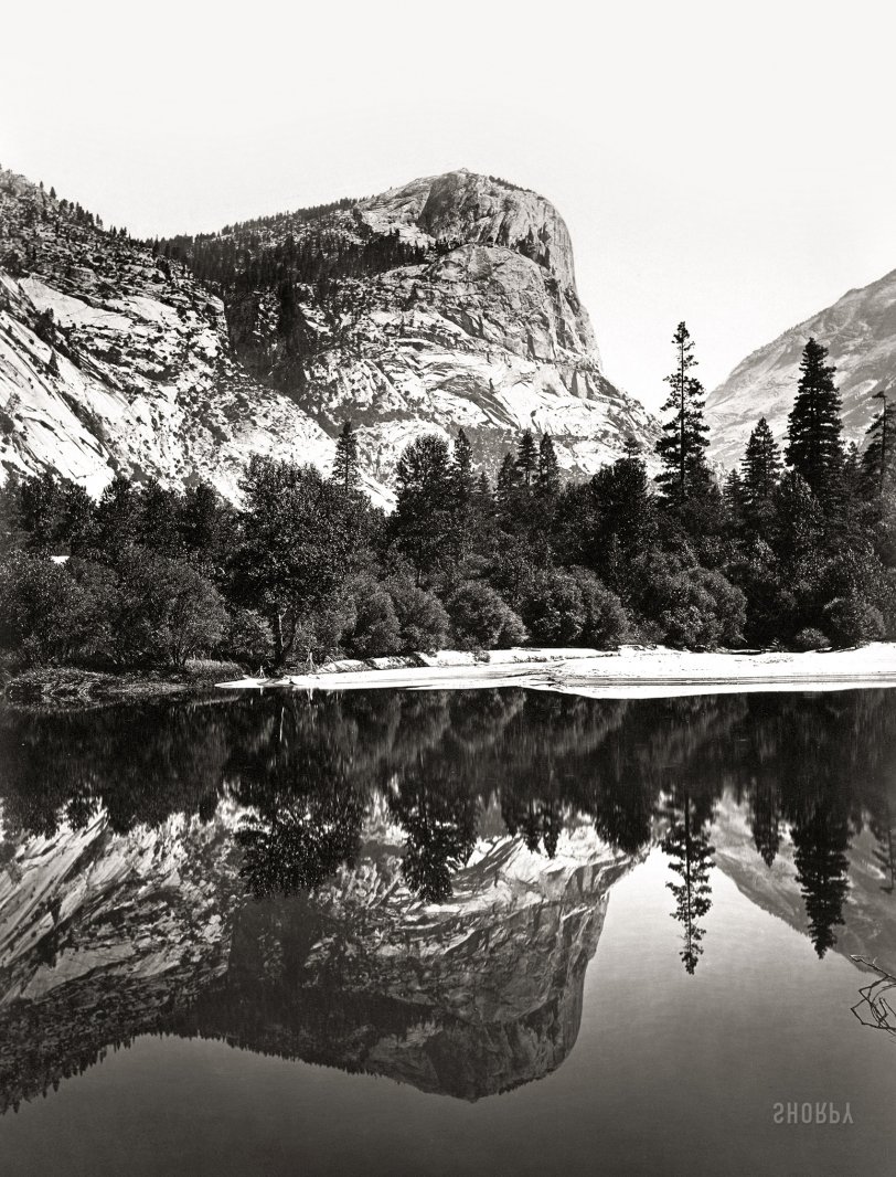
Circa 1865. "Mirror Lake, Yosemite Valley, albumen silver print. Carleton Watkins (1829 - 1916), an early photographer of Yosemite, captured this pristine view of Mirror Lake while most of the country was engaged in the Civil War. One of the best landscape photographers of the 19th century, Watkins used the cumbersome, demanding technology of his era, which required large glass wet plate negatives, and produced some of the most stunning images of this extraordinary wilderness. His views are credited with inducing members of Congress to pass legislation in 1864 that required California to protect the area from development. Abraham Lincoln, reported to have been very taken with the beauty of the images, signed the bill. Later efforts by landscape designer Frederick Law Olmsted and naturalist John Muir resulted in Yosemite being proclaimed a national park in 1890." View full size.
- 4 comments
- 7715 reads
Toy Boats: 1905
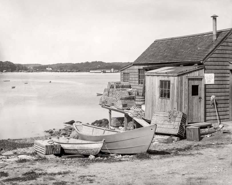
Gloucester, Massachusetts (vicinity), circa 1905. "Fisherman's cabin, Shore Road, Magnolia." 8x10 inch dry plate glass negative, Detroit Publishing Company. View full size.
- 3 comments
- 7366 reads
Blind Curve: 1941
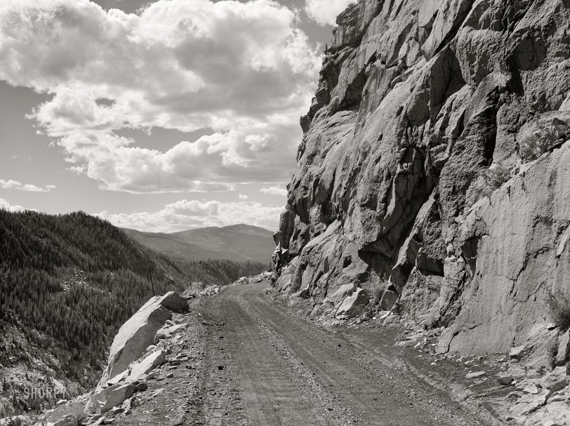
September 1941. "Road leading out of Carlton Tunnel along bed of old narrow gauge railroad on the west side of the Rocky Mountains from Leadville, Colorado." Medium format acetate negative by Marion Post Wolcott for the Farm Security Administration. View full size.
- 5 comments
- 8591 reads


