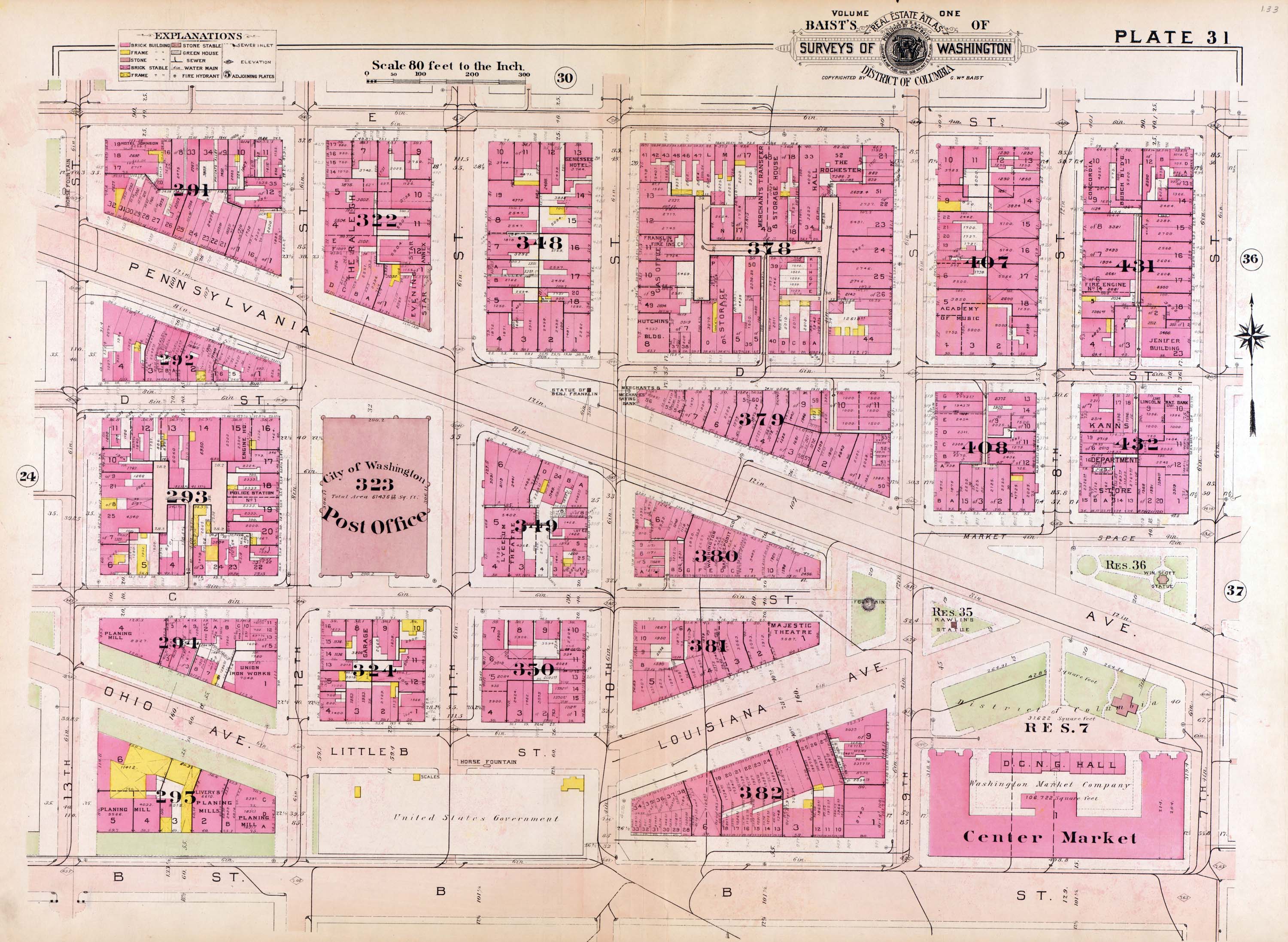
Plate 31 from 1909 Baist's Real Estate Atlas. This shows the original street layout in the area that would eventually become Federal Triangle. Of note to Shorpy photographs is the location of Louisiana Avenue, Center Market, and the Old Post Office. | Click image for Comments. | Home | Browse All Photos