

Framed or unframed, desk size to sofa size, printed by us in Arizona and Alabama since 2007. Explore now.
Shorpy is funded by you. Patreon contributors get an ad-free experience.
Learn more.

- Exclusive pump
- Details, Details
- What's that building to the left of the tower?
- Coal Barges
- Bromo-Seltzer
- Inner harbor
- The Basin
- What a headache!
- Giant stepladder?
- Baldwin 62303
- Baldwin VO-1000
- Cold
- No expense spared
- Tough Guys
- Lost in Toyland
- And without gloves
- If I were a blindfolded time traveler
- Smoke Consumer Also Cooks
- Oh that stove!
- Possibly still there?
- What?!?
- $100 Reward
- Freeze Frame
- Texas Flyer wanted
- Just a Year Too Soon
- WWII -- Replacing men with women at the railroad crossing.
- Yes, Icing
- You kids drive me nuts!
- NOT An Easy Job
- I wonder
Print Emporium
Crawford Street Bridge: 1906
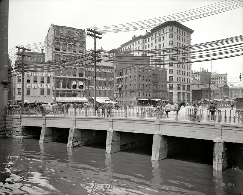
Providence, Rhode Island, circa 1906. "Crawford Street bridge." 8x10 inch dry plate glass negative, Detroit Publishing Company. View full size.
How'd they do that?
"when they moved the Providence River"
Uhm, how did they do that? And why.
Learned Something
I learned something from this. I thought Sic Transit Gloria Mundi meant Gloria threw up on the bus last Monday.
Fast Lane
Judging by her stride the woman on the bridge is in an awful hurry to get somewhere.
Sic Transit Gloria Mundi
Well at least one building still survives from the ones in the picture
Watching the world go by
Or at least watching Providence go by.
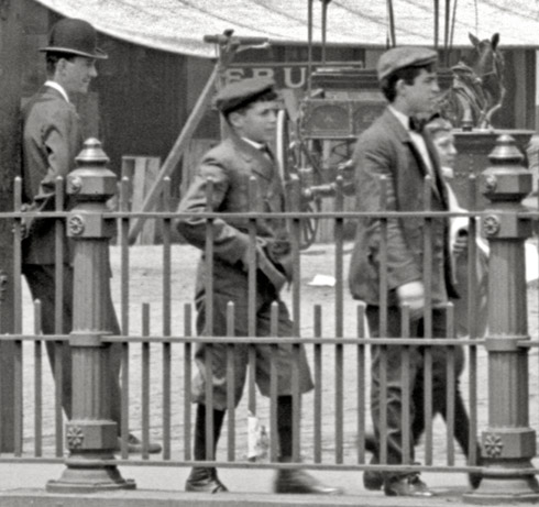
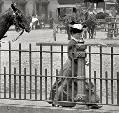
Wired
I've been trying to phone Alexander Brothers, but the operator said the circuits are busy. There must not be enough phone lines.
No longer there
The old Crawford Street Bridge, the one that had the distinction as being the world's widest, is no longer there. It was replaced when they moved the Providence River around in the late '80s and early '90s.
The current bridge rests on some of the piers that once held up the old one. It's now the bridge south of the College Street Bridge. On Google, I think they call it South Water Street. It's directly across from Hemmenway's Seafood Restaurant.
The bridge has since been renamed for one of the people behind the design of the new city layout. I think it technically bring Route 44 over the river.
Where Route 6 crosses is actually part of Rt 195, and THAT bridge has been relocated to the furthest southern crossing on the new I-Way bridge. The bridge that shows Rt. 6 on Google Maps is now closed and being taken down.
Ready for breakfast
Fruit, butter, cheese, eggs, tea and coffee.
They Paved Paradise and Put Up a Parking Lot
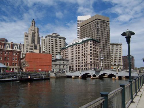
Most of the buildings seem in the Shorpy view are long gone. Mostly to parking lots. The tall whitish building on the left is still there, along Memorial Blvd. Bing Maps tells me it's now the location of Amica Mutual Insurance. The bridge has been replaced with a pair of hump-backed spans.
Modern photo (found online) by "peplance"
Ah Relief!
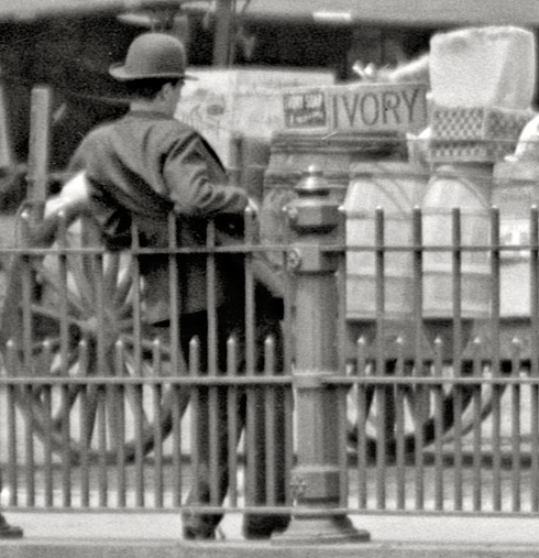
I think that guy on the left end of the bridge is scratching his back on the rail spears. I love that cast iron facade on the Cooper & Sisson building. That era of buildings is quickly disappearing.








On Shorpy:
Today’s Top 5